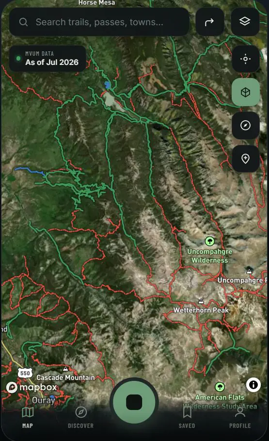
What should be prepared before an offline Colorado motorcycle ride?
Save the intended route, surrounding map area and critical waypoints while connected. Confirm the route export opens in the rider's backup GPS or mapping application, record fuel and water stops, and carry enough battery capacity for the planned duration. Offline maps improve continuity; they do not replace conservative range planning or paper and emergency backups.
Does offline navigation prove a trail is currently open?
No. Downloaded information reflects the source data available when it was prepared. Seasonal restrictions, emergency closures, wildfire activity, weather damage and locked gates can change after that time. Riders must follow current agency direction and on-the-ground controls even when an offline route appears on the map.
How does Topo Colorado support no-service GPS navigation?
The rider workflow combines prepared map context, saved trail tracks, useful waypoints and universal exports. This allows a route to remain available in Topo Colorado and, when exported, in compatible dedicated GPS hardware or another offline-capable mapping tool rather than depending on a single live network connection.