01 · Agency route data
Legal Route Context & MVUM Mapping
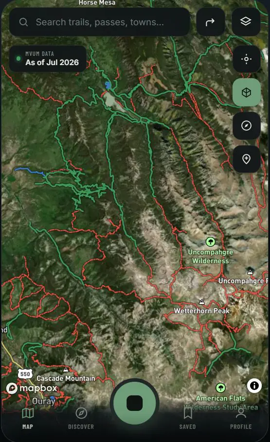
Navigating Rampart Range OHV Trail System requires cross-referencing the applicable USFS Pike National Forest (South Platte Ranger District) Motor Vehicle Use Map and other route-designation records. Topo Colorado simplifies the cockpit by consolidating these public sources into a clean, searchable planning canvas. Riders can compare designated dirt-bike and dual-sport corridor context without mistaking a mapped line for a guarantee that the route is currently open or passable.
Designation is not passability: MVUM and travel-management records describe permitted motor-vehicle use. Snow, washouts, wildfire response, emergency orders, posted signs and gates can still control access.
02 · Free safety layers
Real-Time Safety & Closure Feed
Before heading toward Sedalia and Woodland Park, CO, consult Topo Colorado’s integrated safety layers. The map combines available national wildfire telemetry with official closure-order boundaries to place current hazard context over Rampart Range OHV Trail System. Wildfire awareness, closure information and public-land ownership remain free for every rider, every season, wherever an online signal is available.
Verify before departure: A wildfire perimeter is a hazard advisory, not automatically a legal closure. Current evacuation notices, official orders and incident-personnel direction always control.
03 · Primary references
Official Sources to Check
Use these responsible-source pages to confirm the specific route, vehicle class, seasonal window and current conditions immediately before riding.