How does motorcycle-first route planning differ from a generic map?
A generic map can draw a line between points. A motorcycle-first route planner must help a rider judge whether that line fits the bike, fuel range, available daylight and expected ground. Topo Colorado places agency designation, seasonal-use information, difficulty, elevation and resupply context beside the route so distance is not mistaken for ride time.
Can a planned Colorado route move between GPS platforms?
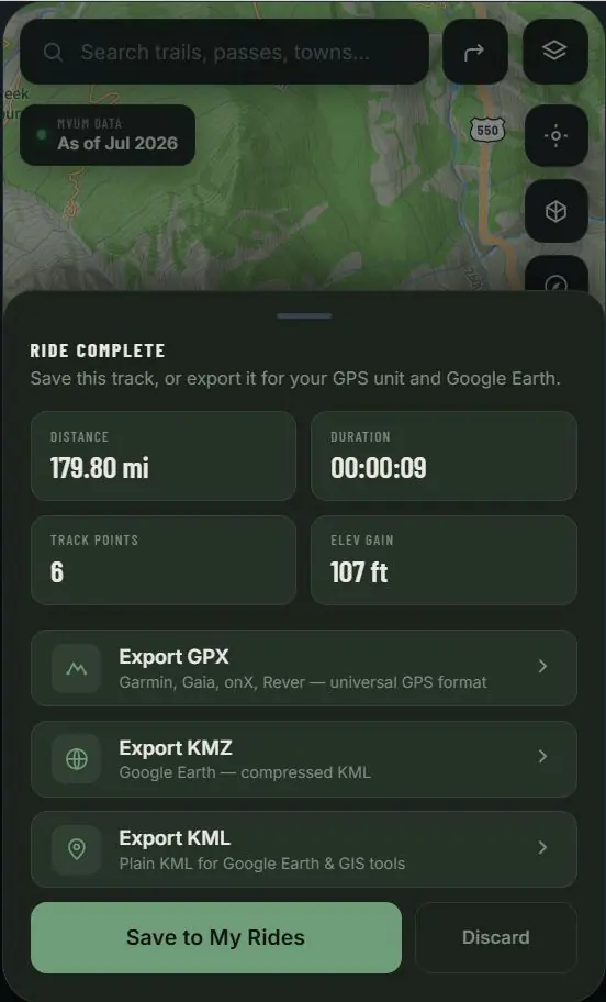
Yes. Topo Colorado is designed around portable route data. An existing trail track can be saved and exported as GPX for compatible motorcycle GPS devices, KML for desktop GIS and Google Earth workflows, or KMZ when a compressed Google Earth file is preferred. The exported track remains usable outside the Topo Colorado interface.
What should riders verify before following a planned route?
Check current land-manager orders, posted signs, gates, weather, wildfire notices and local conditions before departure and again at the trailhead. Topo Colorado presents planning context from public datasets; it does not guarantee that a route is open, physically passable or suitable for a particular motorcycle or rider.