What do USFS MVUM GPS tracks tell a motorcycle rider?
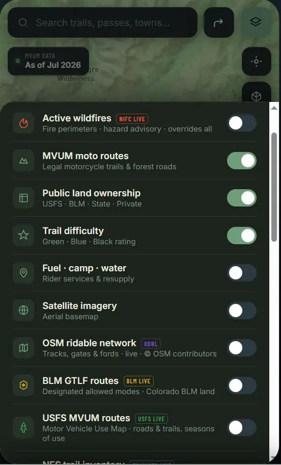
An MVUM identifies roads, trails and areas designated for motor-vehicle use by vehicle class and may include seasonal dates. It is a legal designation document, but the digital route geometry and attributes still require interpretation. Topo Colorado presents the source and available details so riders can compare the designation with terrain, ownership and field information.
How is a BLM boundary overlay different from a route layer?
A land-status layer describes management or ownership context; it does not automatically establish that every road crossing that polygon is open to motorcycles. BLM GTLF transportation features, route designations and current travel-management plans provide different pieces of the decision. Topo Colorado keeps these layers distinct so the map does not imply permission from proximity alone.
Why compare multiple Colorado land-management sources together?
Colorado rides often cross national forest, BLM, state, county and private contexts in one day. No single public dataset describes every segment with equal completeness or update timing. Comparing sources exposes gaps and conflicts early, helping the rider identify where an agency map, ranger district notice or field verification is still needed.